Swiss helicopter flight route network improved
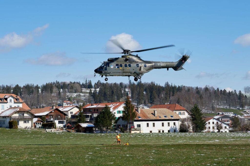
The “Low Flight Network”, hitherto used by the Swiss air rescue service REGA and the Luftwaffe, will become a national infrastructure
The Swiss Confederation is providing the financial means to expand the Swiss flight route network, which also allows rescue and emergency flights by helicopter in bad weather. This has been decided by the Parliament by adopting the motion Dittli.
The Low Flight Network (LFN), which until now has been used by Swiss Air-Rescue REGA and the Air Force and operated by Skyguide, will be granted the status of critical aviation infrastructure of national importance.
The LFN is being continuously expanded and will also be available to other air rescue companies and police forces, provided their helicopters are properly equipped and pilots are qualified.
More Switzerland in the new Air Navigation Act
Important flight missions even in bad weather
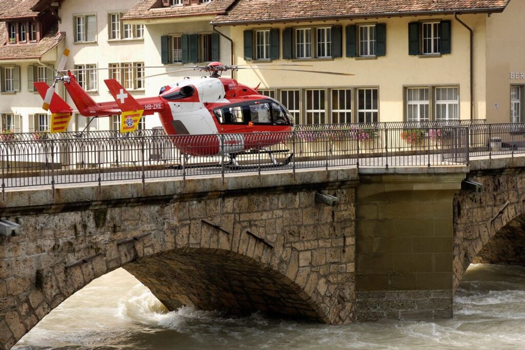
The Low Flight Network (LFN) was originally created on the initiative of REGA and the Air Force. The objective is to enable helicopter crews to carry out important missions, such as rescue flights, refueling flights or disaster evacuation flights, even in bad weather by means of a national network of instrument flight paths.
The Federal Office of Civil Aviation (FOCA) and the air navigation service Skyguide have been closely involved in the project since 2015. The FOCA has coordinated the project with all stakeholders and created the necessary framework conditions.
After six years… the “Swiss Aviation Platform”
A decision that resulted from the adoption of the Dittli Motion
With the adoption of the Dittli Motion by Parliament, the LFN was granted the status of a critical aviation infrastructure of national importance, which is operated and expanded on behalf of the federal government.
The federal government is mandated to create the necessary legal framework conditions and to ensure financing. To this end, the expanded “National Critical Infrastructure” project was launched in April 2021 under the leadership of the FOCA.
In addition to the Air Force and REGA, the air navigation service Skyguide and the Federal Office of Meteorology and Climatology MeteoSwiss are involved.
In addition, an extended working group under the leadership of the RSS (Swiss Integrated Safety Network) and the FOCA is dealing with the delimitation and future financing of the LFN.
In Switzerland the 2025 Winter Military World Games

Bern’s support for the most important arrival and departure points
In principle, the federal government is expected to bear the costs for the route network and the nationally relevant arrival and departure points.
In the case of regional requirements or special interests (e.g. connection to regional hospitals / connection to REGA bases), the cantons or the users must take over the financing.
In addition to REGA and the Swiss Air Force, other providers of rescue flights should also be able to use the LFN, provided that the missions serve national interests, their helicopters are adequately equipped and the crews are trained and authorized to fly according to instrument flight procedures.
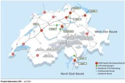
The existing network will be further expanded and completed in the coming years. Additional air routes will be created, especially on the west-east axis, in the Jura, Valais and western Switzerland.
Transport insurance against war risks, goodbye
What is the Low Flight Network and how it will soon work in the skies
What is the Low Flight Network? The Low Flight Network (LFN) can be compared to a highway network (though rarely used). On predefined routes, helicopters can fly in instrument mode even in low visibility conditions, for example from Ticino to Lucerne or Zurich.
The novelty of the LFN is that these flights can also be performed in less elevated airspace, which is normally reserved for air traffic according to Visual Flight Rules (VFR) and can only be flown in conditions of sufficient visibility.
Thanks to the LFN, medical rescue flights and helicopter operations in the service of national security are also possible in bad weather. To reach a hospital from the “highway”, the LFN uses so-called PinS (Points in Space).
These virtual points above a hospital or airfield allow a direct approach using GPS technology. From this virtual point the helicopter can start the landing phase, but the visibility must be sufficient for this last short part of the route.
It is therefore not an instrument landing system as used in large airports and by large fixed-wing aircraft.
